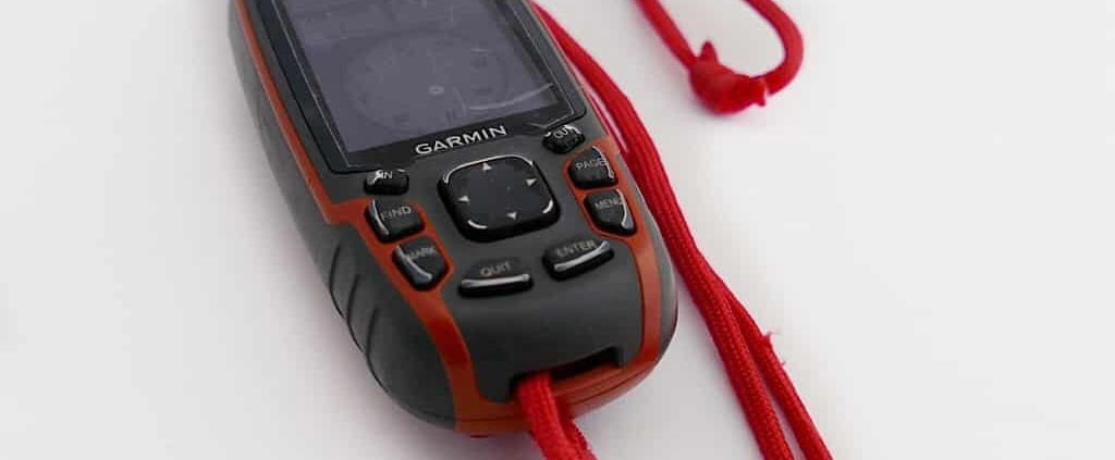
Garmin GPSmap 62S Handheld GPS
Below you can read the transcript of the video recorded by Henk-Jan Geel about the expedition materials.
‘I want to tell you something about the GPS I take with me to navigate.
The gps I take with me is a garmin gpsmap 62s and the nice thing about the gps I find is that in it you can digitally see where you are.
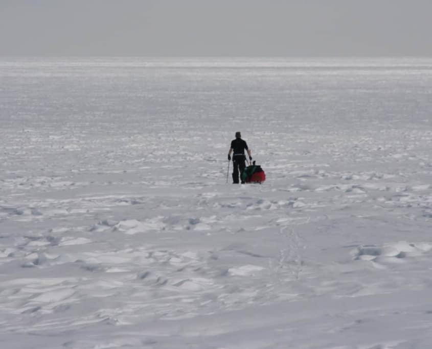
Most of the time I navigate with map and compass and the gps I actually only turn on to verify where I am to see if where I think I am is correct with the gps but sometimes in a white-out if it is completely white around me by means of fog or snow then it is also sometimes nice to be able to navigate on your gps the beauty of a gps is here I can load maps, so routes can be in here, complete maps, but also the huts where I want to go that are in there and with the gps I can look back afterwards of okay how many kilometers per hour did I walk now, that’s in there that’s tracked.
What is the altitude we are at, how many kilometers do I have to walk, how long will it take approximately.
So that’s all in such a gps.
On basecamp, in the office I have software where I can completely map out the route on a map and then the software from that map that route that’s in there is going to be transferred to the gps and then in the field I can actually follow the line of the gps and gps will say exactly of okay you need to here piece of a link, here piece of a right there the gps is great for that.
So never go into the field without a GPS.
Only downside is there are batteries in it and batteries can go dead so trust your gps, but always take a map and compass with you as a super good backup I put a string around my gps so I often have it hanging around my neck and then it’s in my shirt pocket, but this way I can’t drop it easily in the snow.’
Read more blogs about clothing for expeditions.
Or watch the videos on expedition materials.
But don’t want to miss anything. Then take a look at all personal equipment.



Leave a Reply
Want to join the discussion?Feel free to contribute!